Camping - GPS
 Sale
Sale
 Sale
Sale
 Sale
Sale
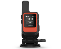
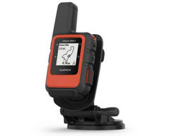


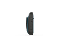


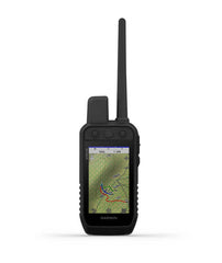
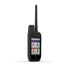
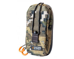
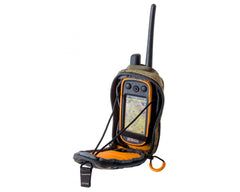
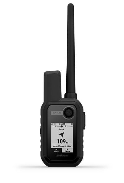
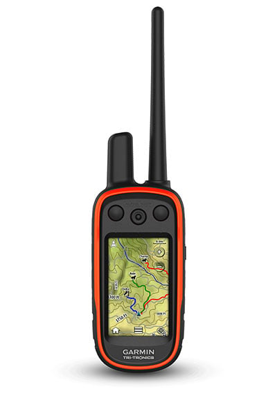
Garmin Alpha 10 GPS Handheld
The Garmin Alpha 10 is a small device with big tracking and training potential.
Key Features:
• When you’re on the move, this compact GPS device won’t weigh you down.
• Know your dog’s location, wherever the hunt takes them.
• Always on the go? Mount Alpha® 10 in your truck or anywhere else to keep it close.
• It’s up to you. Use Alpha® 10 on its own or with other dog tracking devices.
• See your dog’s location from the driver’s seat of your truck or even from your wrist.
• Stay on the hunt for longer with up to 1 week of battery life (40 hours of use).
For more flexibility on the hunt, the compact Alpha® 10 handheld can be used on its own, connected to your compatible smartphone or connected to other Garmin dog tracking devices. Map, track, sync and share from anywhere using the Garmin Explore app.
Features:
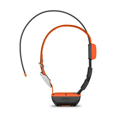
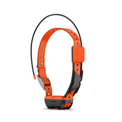
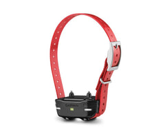
TRACK YOUR PACK. Alpha® 10 works with T5 and TT™ 15 dog devices to monitor up to 20 dogs from up to 10 kilometres with a 5-second update rate.
MULTI-GNSS SUPPORT. Access multiple global navigation satellite systems (GPS and Galileo) to track in more challenging environments than GPS alone.

HUNT-READY BATTERY LIFE. With up to a full week’s worth of battery life (40 hours of use), you’ll stay charged and ready for action, even on multiday trips.
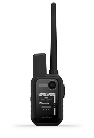
18 LEVELS OF STIMULATION. Momentary and continuous stimulation options let you customise training for each dog (when paired with select dog devices).
TONE/VIBRATION. Issue different levels of audible tone or vibration commands for quick adjustments to individual dogs (when paired with select dog devices).
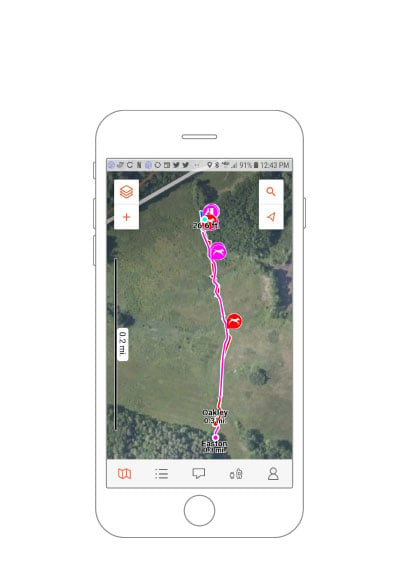
GARMIN EXPLORE™ APP. Pair with the Garmin Explore app on your compatible smartphone to see real-time dog tracking information, save collections of dog tracks and replay tracks to see exactly what happened during your hunt.
FOLLOW THE ACTION. Track fellow hunters by pairing Alpha® 10 with other compatible Alpha and Astro® handheld devices.
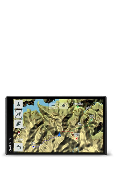
MORE WAYS TO TRACK ON THE GO. See the pack’s location from your vehicle with the Montana, Garmin DriveTrack™ 71 sat-nav — or from your wrist with your Instinct®, tactix® or fēnix® GPS watch.
Specifications:
- PHYSICAL DIMENSIONS: 2.3 x 4.8 x 1.1″ (5.8 x 12.1 x 2.9 cm); dimensions do not include antenna
- DISPLAY SIZE: 1.8″ (45 mm) diagonal
- DISPLAY RESOLUTION: 128 x 128 pixels
- DISPLAY TYPE: Sunlight-readable, monochrome, transflective memory-in-pixel (MIP)
- WEIGHT: 5.6 oz (160 g) with standard antenna and spine mount attached
- BATTERY TYPE: Rechargeable internal lithium-ion; nonreplaceable
- BATTERY LIFE: Up to 1 week (40 hours of use)
- WATER RATING: IPX7
- HIGH-SENSITIVITY RECEIVER: Yes (GPS and Galileo)
- INTERFACE: microUSB™
- COMPASS: Yes (tilt-compensated 3-axis)
- Two-way Radio Features
- FREQUENCY BAND: MURS
- RANGE: TT 15/T 5 = 14.5 kilometres; TT 15 mini/T 5 mini = 6.5 kilometres
- COMPATIBLE WITH GARMIN EXPLORE™ APP: Yes
- GARMIN EXPLORE WEBSITE COMPATIBLE: Yes
- WIRELESS CONNECTIVITY: Yes (Bluetooth® Low Energy and ANT+®)
- ADDITIONAL: Track storage, up to 10 days
- PRODUCT NUMBER: 010-02290-53

